| |
|
|
| |
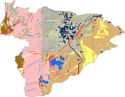
Lower Laramie River Subbasin Future Groundwater Development Potential
|
|
| |
Depending upon the type of groundwater use and desired well water quality and quantity, the aquifer systems have potential for future development in the subbasin. A map of potential groundwater development sites for the Lower Laramie River subbasin area is shown below. The future development potential of the major aquifer systems located within the subbasin is as follows:
-
While considered to be hydrologically connected in the subbasin to the Laramie River and its tributaries, the Quaternary Aquifer System yields large quantities of groundwater to wells.
-
The Late Tertiary Aquifer System has been developed for irrigation, domestic, municipal, and industrial water supplies in the subbasin. Despite its current level of development, there appears to be future development potential available for this aquifer in some areas.
-
The Late Paleozoic Aquifer System has not been extensively developed in this subbasin. Development of this aquifer system will require a site-specific hydrogeologic investigation prior to well drilling to assess development potential.
|
|
|