Wyoming State Water Plan
Wyoming State Water Plan
Wyoming Water Development Office
6920 Yellowtail Rd
Cheyenne, WY 82002
Phone: 307-777-7626

Wyoming Water Development Office
6920 Yellowtail Rd
Cheyenne, WY 82002
Phone: 307-777-7626


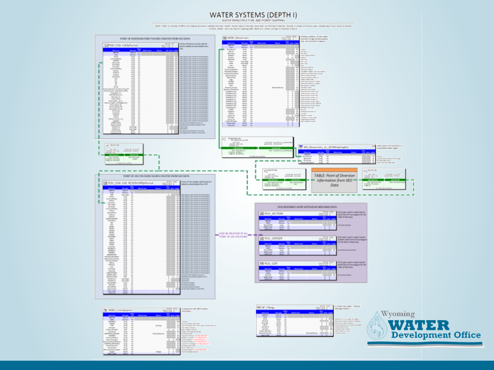
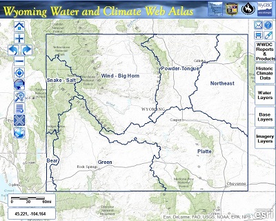
The Wyoming Statewide water plans, individual basin plans, and all other planning studies produce various geographic infiormation contained in a Geographic Information System (GIS). This data is important for planning purposes, as well as providing base datasets for future planning projects.