Estimation of basin irrigated acreage involved combining county-based National Agricultural Statistics Service (NASS) crop statistics with geographically-based project Geographic Information System (GIS) data. The basin plan Geographic Information System (GIS) map contains solid green areas that represent irrigated acreage in WyomingĆs Platte River Basin. It is important to note that quantities of irrigated acreage used during basin plan consumptive use calculations were those derived from the project GIS specifically for the basin plan.
Since National Agricultural Statistics Service (NASS) cropping data is organized on the basis of political boundaries and basin plan consumptive use calculations were completed on the basis of geographic subbasin boundaries, correlation of NASS cropping data and project geographical information system (GIS) irrigated acreage data was required.
Click here to view a table that combines National Agricultural Statistics Service (NASS) county-based cropping data with the Geographical Information System (GIS) derived geographically-based irrigated acreages. The table includes calculations of average irrigated, harvested acres for each crop in each county of the Horse Creek subbasin as the product of the percent of each county that is cultivated in each of the crops under consideration and the GIS-derived irrigated acreages for each county in the subbasin. The sum of irrigated, harvested acreages in the right-hand column of the table provide estimated average irrigated, harvested acreages for each crop in the Horse Creek subbasin of the Platte River Basin for the period 1972 through 2001.
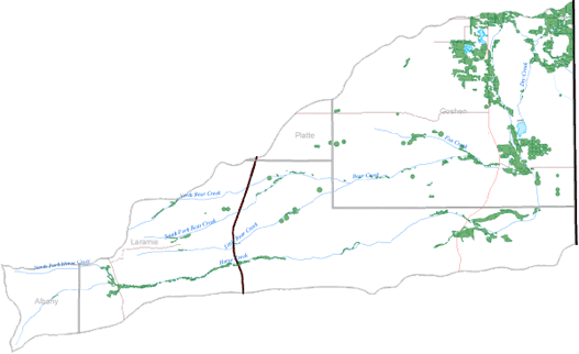
Below is a map representing the irrigated acres within the Horse Creek subbasin. Click here to enlarge image, view legend, and to print.